Our services
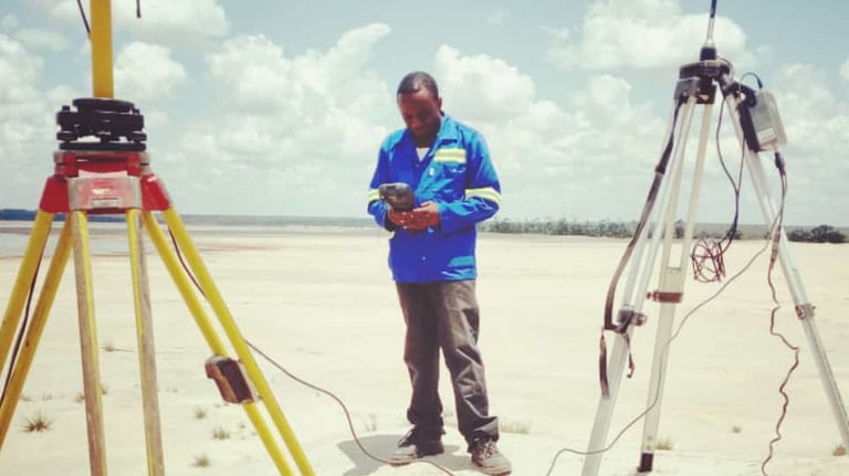
Greenfield Geodetics offers the following services and expertise to individuals, small companies, major corporations, government authorities, planners, solicitors, real estate agents, engineers, construction contractors and land developers:
Land or Cadastral Surveys
At Greenfield, we can help you convert your customary land to state land and also perform the following cadastral survey services....
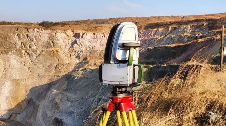
Mining Surveys
At Greenfield, we can conduct and submit periodical reports and plans to Mine Safety Department for surface mines in the Republic of Zambia and also perform the following mining survey services...
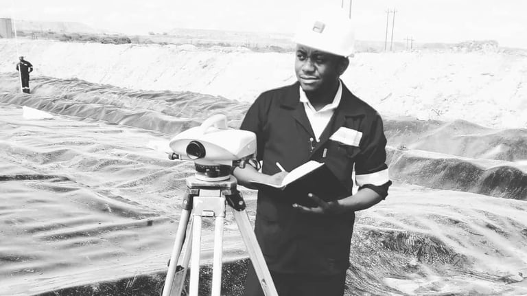
Engineering & Construction Surveys
At Greenfield, we can assist in setting out your construction project and also perform the following survey services...
GIS and Mapping
At Greenfield Geodetics, we prepare 3D Maps and other advanced maps to help you perform your spatial analysis....
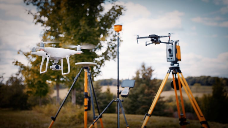
Aerial/Drone Surveys
At Greenfield Geodetics, we conduct Photogrammetric surveys for open pits and stockpiles. We are aslo able to....
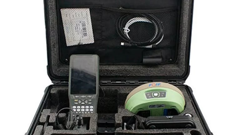
Equipment Hire
Hire Survey Equipment

