Photogrammetry or drone (UAV)
Surveys
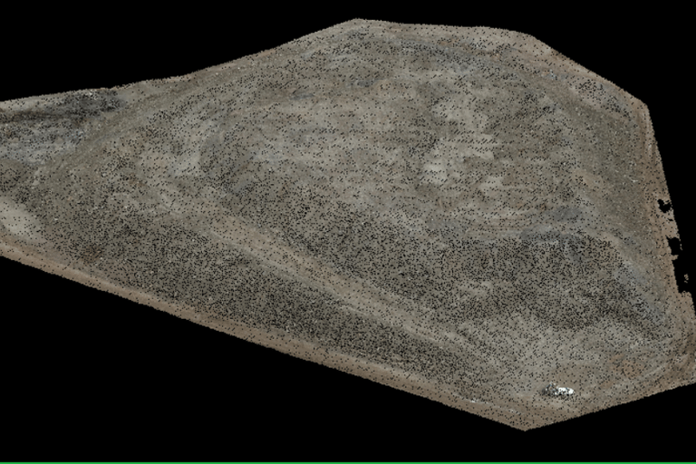
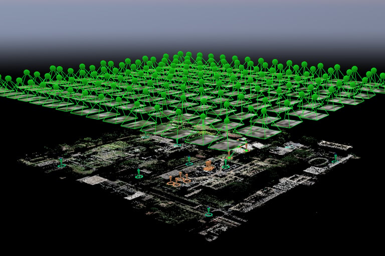
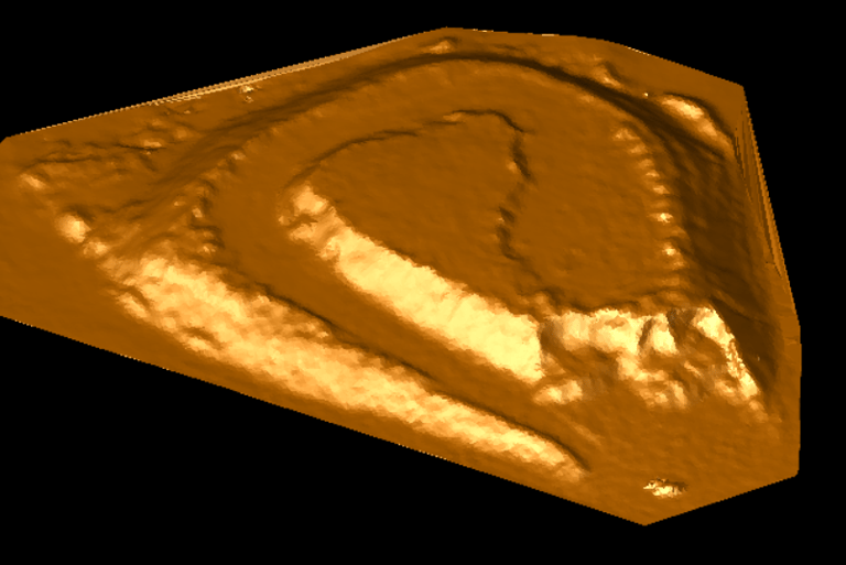
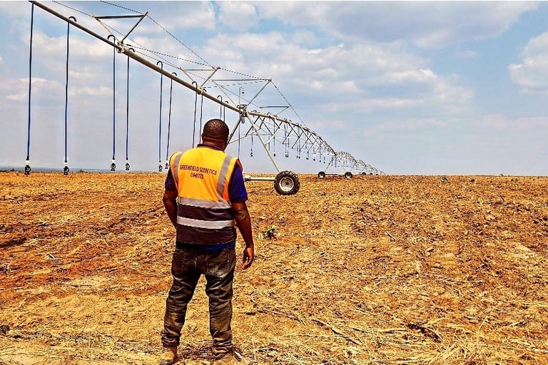
Aerial photogrammetry sample gallery


Photogrammetry is the science and art of extracting accurate measurements and information from overlapping photographs, typically taken from different viewpoints. It involves analyzing and processing multiple images to create detailed 2D or 3D models, maps, or other geospatial data.
At Greenfield Geodetics we able to provide the following services
Georeferenced aerial imagery
Photogrammetry surveys
Topographical surveys
Mine and quarry monthly volumes
Stockpile surveys and volume calculations


