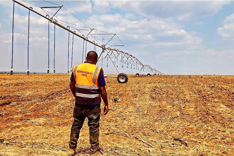
Engineering & Construction Surveys
At Greenfield Geodetics Limited, we are capable of providing the following survey services
for you;
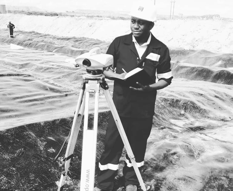

Construction Staking or Setting Out: Facilitates business partners or contractors in determining or establishing exactly where they should position or situate structures, roads or utilities. Using engineering and architectural construction drawings, survey stakes are established on the project site which gives the location and elevations of the proposed improvements or structures.
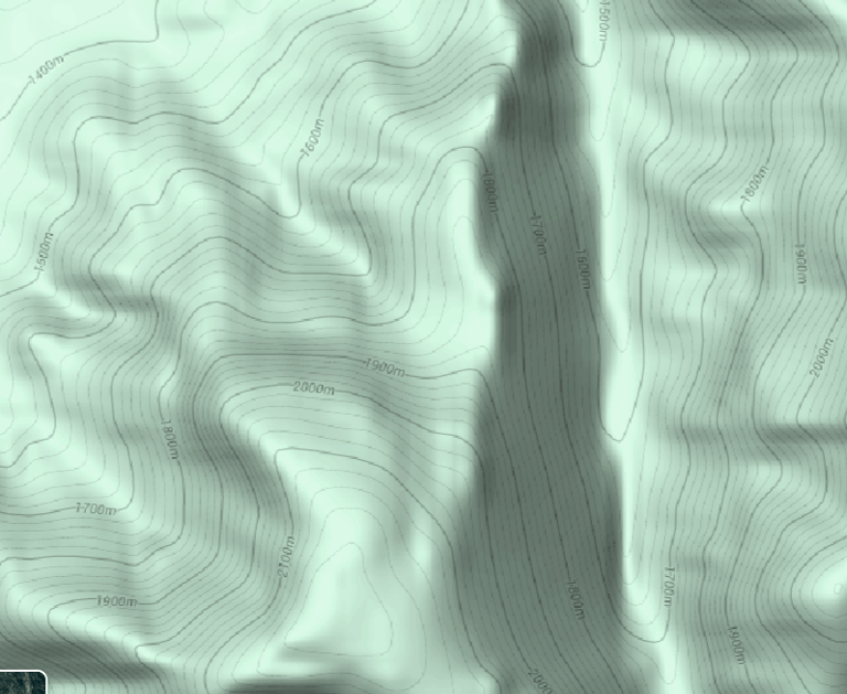

Topographic Surveys: Topographic surveys are used to identify and map contours of the ground and existing spatial features on the earth surface to allow for design. Topographic surveys, also known as base maps, may be required as part of civil engineering design and construction projects . Greenfield geodetics lead the way in topographical surveying.
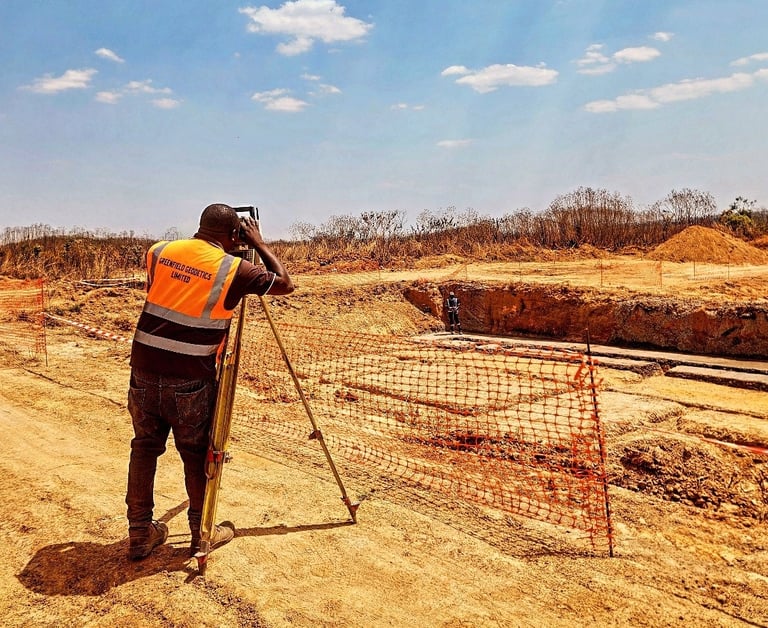

Volumetric/ Cut and Fill analysis: Provides significant value in various applications that involve terrain modification, such as during construction projects. It can accurately estimate the quantities of earth in terms of volume or tonnage that need to be excavated (cut) or filled, facilitating efficient planning, cost estimation, and project management.
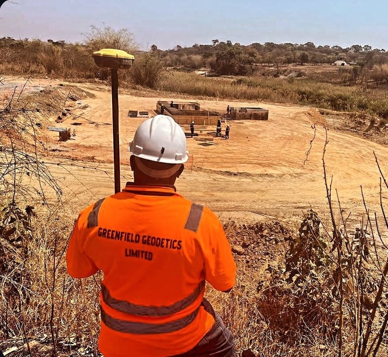

Control surveys on existing construction projects: Survey control points establishes reference locations on land or a construction site and are used to precisely locate and map other land or site characteristics, including buildings, roads, and utilities. There are also used in project planning and construction to ensure accuracy and efficiency. Greenfield Geodetics surveyors perform control surveys utilizing total stations, GPS receivers, and level tools.

